Maptorian is a Vector Maps Collection designed to easily create your own map projects for personal or commercial use without any restriction, for graphic designers, journalists, students, and people who need to create maps easily and quickly.
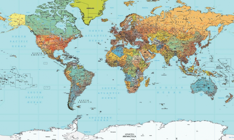


VECTOR MAPS OF THE WORLD
(FULL EDITION)
Available at a very affordable price for a limited time.
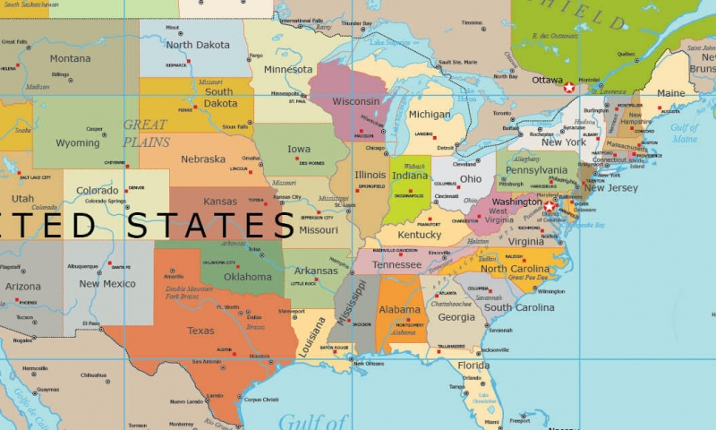
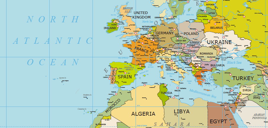
Features: Digital download – Over 100 Vector Maps – 16 Geographic Projections – More than 40 Thematic Layers – World vector flags – Physical and Political Maps – Country Capitals – State Capitals of the USA – Fully Editable and Scalable – High detail Vector Maps of the World – Topographic Vector Maps – USA and Europe High Detail Maps – Vector Maps of Continents, Countries, and Regions [+Info]

You can use Maptorian vector maps to create all the maps you want, both for personal and commercial use. The maps created from Maptorian can be used for any purpose.
Everything in Maptorian is editable. The distribution of thematic layers is designed to quickly create different types of maps through their activation and deactivation, arrangement, or its edition. All are editable: the lines, polygons, colors, text, fonts… everything can be changed easily.
VECTOR MAPS OF THE WORLD
(Lite edition)
This pack is also included in the Maptorian full Edition
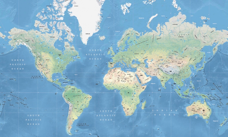
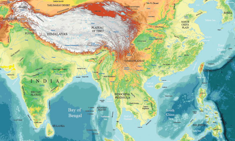
TOPOGRAPHIC VECTOR WORLD MAPS
WORLD PHYSICAL MAPS
This pack is also included in the Maptorian full Edition
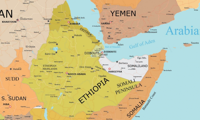
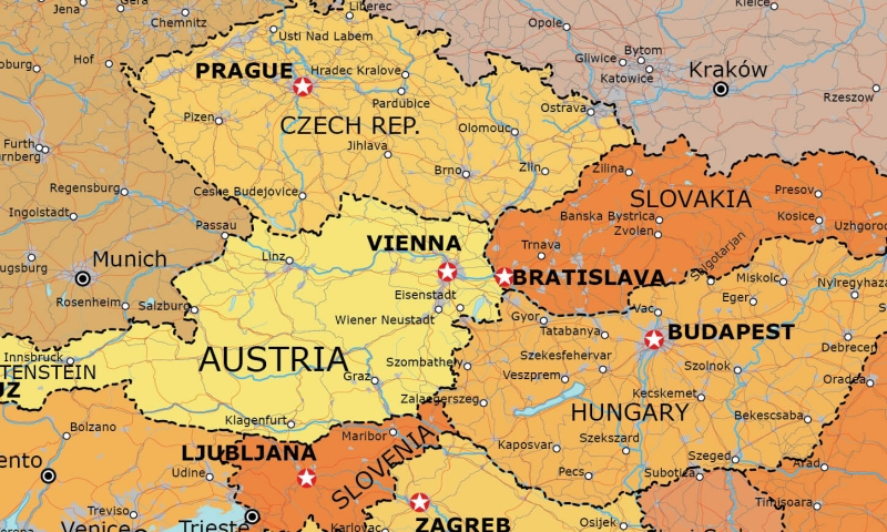
Featured Maps


Special Maps
The following maps can be purchased separately and are not included in any other pack.


